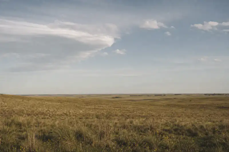
Own camera, GPS intact — exact to the trailhead
Khövsgöl Lake, Mongolia
99%LikelyEXIF 51.03°N, 100.5°EDSLR + GPS module
From EXIF →
Free image location finder — GPS first, AI when it's gone
Drop in a photo or screenshot — if GPS is there you get an exact pin; if it's stripped, the AI reads the scene.
GPS read in-browser when present · Uploads deleted in 24h
No image handy? Tap a sample to see a pre-cached result:
Drop in a photo or a screenshot. If the file still carries GPS, you get the exact pin and address in a second. If the location data was stripped — like almost every image saved from social media — the AI reads the scene instead and names the most likely place. Free, no sign-up.
Two ways in, one answer out
Some of these still had coordinates in the file; most didn't. Here's what happened when each one was dropped in to get the image location:
A safari shot forwarded three times — GPS long gone

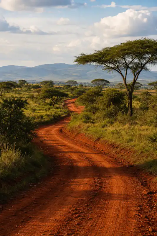
Found: Maasai Mara, Kenya · 90% Likely — from the scene, not the file
Free result: place + map area + nearby — exact pin unlocks separately
Open in Google MapsOwn camera, GPS intact — exact to the trailhead
Full analysis
Maasai Mara, Kenya · 90% Likely
The image arrived via WhatsApp, so every EXIF field — GPS included — had been stripped on upload. There was nothing to read from the file. So the second engine took over and read the picture itself: flat-topped acacia trees, red-oat savanna grass that turns amber in the dry season, and a low escarpment line on the horizon that matches the Oloololo edge of the Mara.
Those three signals together rule out most of Africa's other savannas and point to the Maasai Mara — not a generic "Kenya". The free result named the reserve, dropped a map area, and listed the nearest gates. The exact pin and a Street View comparison unlock separately, which is what you'd want before booking a camp.
Full analysis
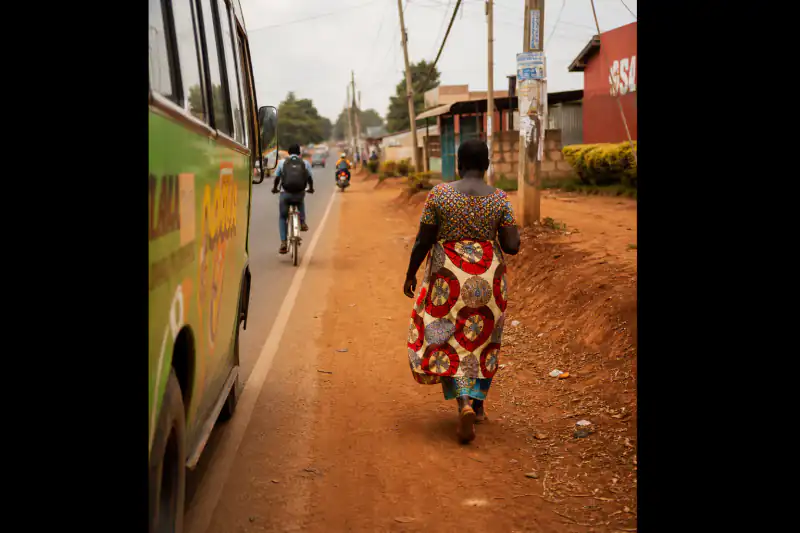
Vietnam · not enough evidence for a pin
This one had no GPS and almost no geography: a tight indoor close-up, no window, no signage, no menu text. The tool named Vietnam at country level from weak cues in the tableware and interior finish — and labeled it low evidence instead of inventing a café pin.
Fix: use a wider frame from the same set (a storefront, a street, a facade), or check whether another image in the batch still has its EXIF. Exact answers need either coordinates in the file or real geography in the frame — a blank close-up gives neither.
Real results — including the miss. Tap a card for the exact clue (a GPS field, or a scene detail) that placed each image, or why we refused to guess.
Two engines, one upload
Phones and cameras write your coordinates into the image's EXIF metadata at the shutter. When that field survives, there's nothing to guess: we read the latitude/longitude, convert it to decimal degrees, and reverse-geocode a street address — accurate to a few meters. See every field in your file → EXIF viewer
Most images you didn't shoot yourself have no GPS left — social platforms and chat apps strip it on upload. So the second engine studies the pixels: architecture, signage, coastline, vegetation, road markings, the light. It compares those against millions of geotagged references and returns a ranked place with a confidence level.
Drop the image and the tool tries EXIF first, then falls back to scene analysis automatically. That's the difference from a plain metadata viewer (dead end when GPS is missing) and a pure AI guesser (ignores the exact answer sitting in the file).
Get image location means using whichever evidence the picture actually carries — the coordinates if they're there, the scene if they're not.
Scene, not people: this tool identifies places in an image. Don't use it to track or expose private individuals — uploads that look like that get blocked.
Transparent pipeline
From an upload to a place you can open on a map — the same path whether or not the file has GPS.
In-browser, we check for embedded GPS tags first. If they're present, that's your exact answer — no AI needed.
GPS · camera · timestamp
EXIF stores GPS as degrees/minutes/seconds with a N/S/E/W reference. We convert to decimal degrees and reverse-geocode a readable street and city.
DMS → decimal → address
When the file is scrubbed, the AI reads the durable visual clues that survive compression and reposting — the ones a metadata viewer can never recover.
Architecture · terrain · signage
Top candidates with confidence levels, a map area, and what's nearby — free before you pay anything.
Candidates · map · nearby
The exact pin plus a Street View side-by-side, for when you're acting on the answer.
Exact pin · Street View
Screenshots and reposts strip coordinates — these visual signals usually remain:
Shop lettering, plates, menus, and alphabet often pin a country before anything else does.
Coast curves, mountain lines, and city silhouettes narrow an image to a region fast.
Tile styles, balconies, power poles, lane markings, and pavement separate lookalike places.
Volcanic rock, savanna grass, alpine snow, or the sun's angle survive filters when faces don't help.
Match the method to the image
GPS is almost certainly intact. EXIF gives an exact pin — this is the best case, and it's instant.
Metadata is gone. Skip the EXIF viewer and go straight to scene analysis — that's what the AI engine is for.
GPS stripped on send. Scene analysis is your path; ask the sender for the original file if you need exact.
GPS often survives these. Try EXIF first — you may already have coordinates without knowing it.
Not sure which bucket it's in? Just drop it — the tool checks the file for GPS first, then reads the scene if there's nothing to read.
The data nobody tabulates
Whether you can get image location from EXIF depends entirely on the delivery path. Here's what strips coordinates and what keeps them:
| Instagram / TikTok | WhatsApp / Discord | Email attachment | AirDrop / original file | |
|---|---|---|---|---|
| Keeps GPS in the file? | usually intact | fully intact | ||
| Best engine for it | AI scene | AI scene | EXIF first | EXIF first |
| Typical accuracy | Place / city | Place / city | Exact (~m) | Exact (~m) |
| Can you recover exact? | Ask for original | Ask for original |
Rule of thumb: if you didn't shoot it and it passed through a social app, the coordinates are gone — but the scene still isn't. That's exactly the gap the AI engine fills.
Your real options
Four common moves. Here's when each one actually gets you an answer:
| This tool | EXIF viewer only | Google Lens | Reverse image search | |
|---|---|---|---|---|
| Works when GPS is present | exact pin | |||
| Works when GPS is stripped | reads the scene | Landmarks only | If indexed | |
| Works on unlisted / private spots | — | |||
| What you get | Pin or place + map + nearby | Raw coordinates | Similar images | Web matches |
| Map + nearby included | Coords only |
Honest note: for a famous landmark, Google Lens is instant — try it first. This tool earns its keep on ordinary photos and stripped screenshots where there's no landmark and no metadata to lean on. Always verify the free result on Maps before you rely on it. Lens gave you lookalikes with no place? Here's why →
Honest accuracy
When the file still has GPS, the answer is exact — that's not accuracy, it's arithmetic. When it doesn't and the AI reads the scene, results depend on the frame: wide shots with signage, distinctive architecture or terrain place well; tight close-ups, heavy filters and windowless interiors don't. City and exact-spot hit rates publish with the methodology. When evidence is thin, you get "not enough evidence" instead of a fabricated pin — treat every free scene result as map-ready evidence to verify, not a finished answer.
PAA answers
Upload it here. The tool checks the file's EXIF for GPS first — if it's there, you get an exact pin and address instantly. If the coordinates were stripped (as with anything saved from social media), the AI reads the scene and names the most likely place with a map and confidence level.
Not from metadata — screenshots never carry the original GPS. But you can still place them: the AI engine reads the visible scene (architecture, signage, terrain) and returns a ranked location. That's the whole reason the scene engine exists.
No. Only photos taken with location services on carry GPS, and only if the file wasn't stripped afterward. Social platforms and chat apps remove it on upload. Use the EXIF viewer to check what any file still holds.
It's the same thing as location — many people search and tag it as "location" (with a zero), a habit that spread from social platforms. This tool answers both: get image location and get image location are the exact same lookup.
When the file has GPS, it's accurate to a few meters — it's read straight from the coordinates. When the AI reads a stripped image, accuracy depends on the frame: often the exact spot, sometimes only the city. It tells you the confidence and, when evidence is thin, says "not enough evidence" instead of guessing.
The place, confidence, reasoning, a map link and nearby spots are free with no account. GPS reading happens in your browser; scene analysis uploads are deleted within 24 hours. The exact pin plus Street View proof is a paid unlock — from $0.10 with Plus, or $3.99 once after sign-in.
If the file has GPS, yes — the exact address is reverse-geocoded from the coordinates. If it's a stripped image, the AI can often reach the exact spot when the frame has strong clues; when it can't, it's honest about giving you a city instead of a fake street.
No. It identifies places in an image, not people. Using it to track or expose an individual violates our terms, and uploads that look like that get blocked. It's for finding where a picture was taken — a café, a beach, a viewpoint — not for surveillance.
Get image location is free, with no sign-up — GPS read in your browser, and scene uploads deleted in 24 hours.
Free · no sign-up · deleted in 24h