If you want to consistently identify the right country in GeoGuessr, memorizing landscapes isn't enough. Trees and dirt roads in Colombia look remarkably similar to those in South Africa or the Philippines. To climb the ranks, you need to rely on hard infrastructure, language scripts, and "meta" clues—the unintentional hints left by Google's Street View cars and cameras.
This guide skips the generic advice. Instead, we break down the exact drills, coverage knowledge, and visual frameworks used by high-ranking players to narrow down the globe in seconds.
The Google Car and Coverage Meta (Your First Filter)
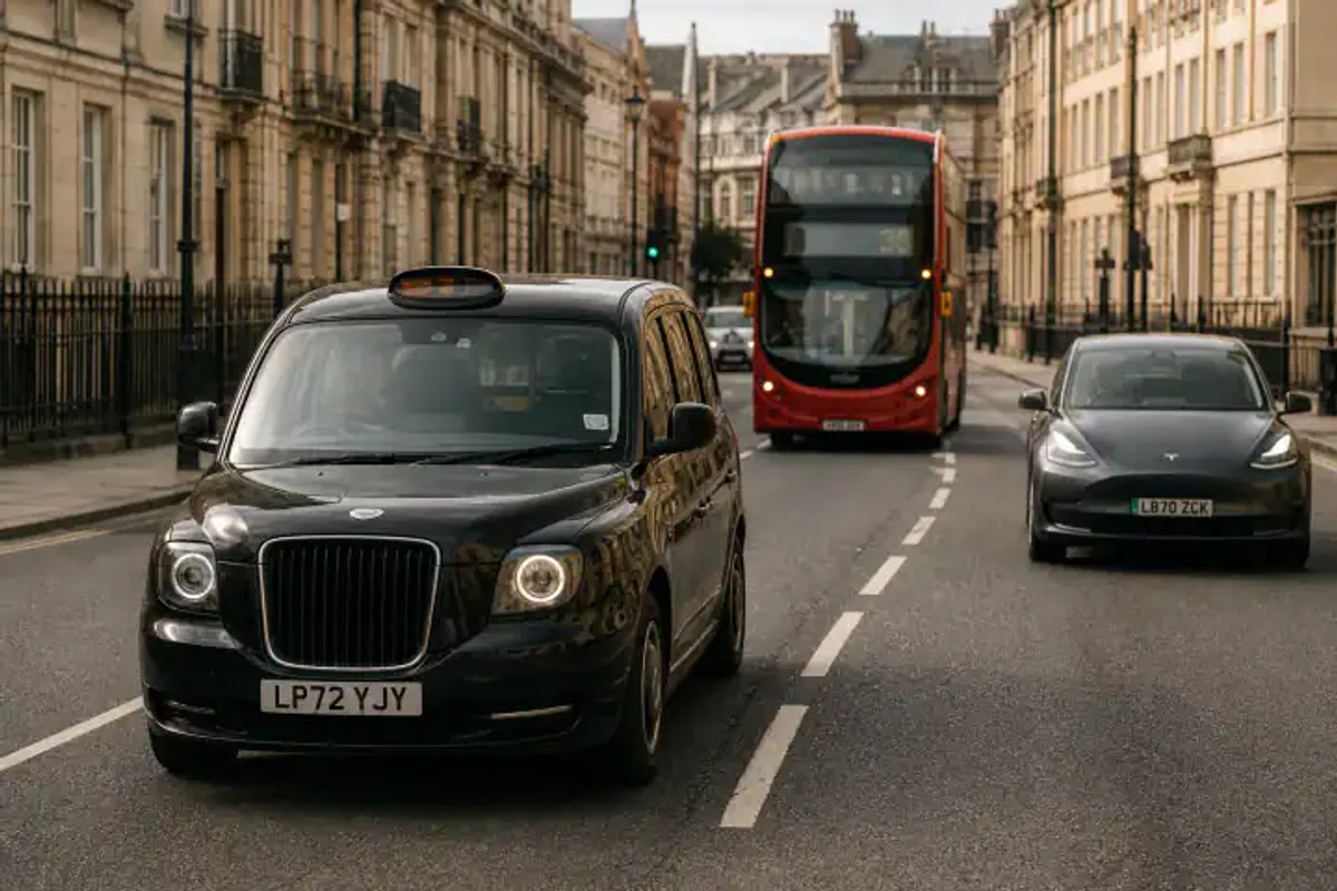
Before looking at the environment, look at how the image was captured. Google hasn't mapped the entire world, and the equipment they use varies by region.
- Is the country even on Street View? Large parts of Africa (e.g., DRC, Angola), Central Asia, and the Middle East have zero or extremely limited official coverage. If you see a standard Google car, you are not in these countries.
- The Kenya Snorkel: If you look down and see a distinctive black "snorkel" attachment on the front right of the Google car, you are almost certainly in Kenya.
- The Ghana Mirror: A black car with a visible side mirror featuring a small silver strip points directly to Ghana.
- The Guatemala/Dominican Republic Roof Racks: Visible roof rack bars with a specific tape pattern can instantly separate these Central American and Caribbean countries from South American look-alikes.
Core Drills: Identifying Countries by Infrastructure
Once you've checked the car meta, your eyes should immediately snap to the road.
Drill 1: The Bollard Match
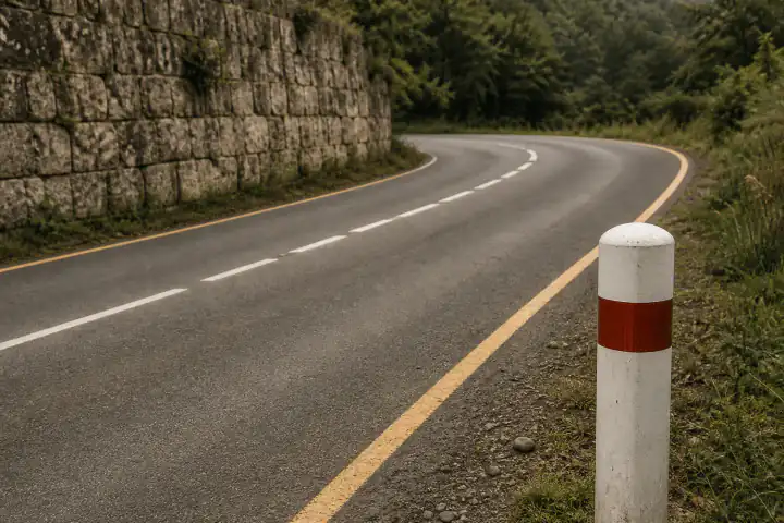
Bollards—the short posts lining the side of the road—are standardized nationally. They are the single highest-value clue in Europe.
- France vs. Italy: France uses white bollards with a red band wrapped all the way around the top. Italy uses a similar white bollard but with a distinct red reflector on the front and white on the back, usually housed in a black plastic strip.
- The Polish/Czech Divide: Poland uses white bollards with a red horizontal stripe containing a white reflector. Czechia uses white bollards with two distinct orange reflectors in a black bracket.
Drill 2: Road Lines and Pavement
Painted lines are often your first clue to the continent.
- Yellow vs. White Center Lines: Yellow center lines dominate the Americas (USA, Canada, Mexico, Brazil). Europe almost exclusively uses white center lines (except for Norway and Finland, which use yellow for dividing opposite traffic).
- Edge Lines: A solid white edge line paired with a dashed white center line is standard in much of Europe. South Africa, uniquely for its region, uses a yellow edge line on the left side of the road.
Drill 3: License Plate Strips
You rarely need to read the numbers on a plate. The shape and color are enough.
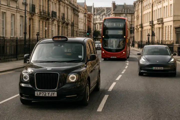
- The EU Blue Strip: A white plate with a distinct blue vertical strip on the left side means you are in the European Union.
- The Mercosur Blue Band: A white plate with a thick blue band running horizontally across the top indicates Argentina, Brazil, or Uruguay.
- Yellow Plates: An all-yellow plate front and back strongly points to the Netherlands or Luxembourg. A white front plate and a yellow rear plate is the signature of the UK.
The 15-Second Decision Flow
Top players process clues in a specific order. Practice this flow:
- 0–3 Seconds (The Car & Sun): Check the car meta. Look at the shadows to see if the sun is in the north (Southern Hemisphere) or south (Northern Hemisphere).
- 3–8 Seconds (The Road): What side of the road are cars driving on? (Left-hand traffic instantly eliminates most of the Americas and Europe). What color are the road lines?
- 8–15 Seconds (The Infrastructure & Text): Find a bollard, a license plate, or a utility pole. Look for text—not to translate it, but to identify the script (Cyrillic, Greek, Thai, or specific Latin characters like ñ or ł).
Tricky Country Pairs (And How to Break the Tie)
Even experienced players get caught between similar-looking countries. Here is how to split them:
| The Mix-Up | The Tie-Breaker |
|---|---|
| Slovakia vs. Slovenia | Look at the bollards. Slovenia's bollards have a black horizontal band. Slovakia's have a black vertical strip. |
| Australia vs. New Zealand | Australia uses a white bollard with a red reflector. New Zealand uses a distinct white bollard with a red band wrapped around it. Also, NZ power poles often have a silver metal band near the bottom. |
| Russia vs. Ukraine | Look at the Google car antenna. A thick, black, visible antenna is highly common in Ukraine. Russian coverage often features a completely clean car roof or a different generation of camera. |
| Brazil vs. Portugal | Both speak Portuguese. But Brazil has yellow center lines and the Mercosur blue-top license plates. Portugal uses white center lines and EU blue-strip plates. |
Analyzing a Real Round (Annotated Breakdown)
Let's apply the flow to a challenging round:
Imagine a dirt road with green, lush vegetation. It looks tropical.
- The Sun: Shadows point south. We are in the Northern Hemisphere. (Rules out Brazil, Indonesia, South Africa).
- The Road: Traffic is driving on the right.
- The Infrastructure: We spot a concrete utility pole with a distinctive square, hollowed-out ladder design.
- The Meta: Looking down, we see the blur of a white Google car with no roof rack.
The Conclusion: The tropical look, Northern Hemisphere sun, and specifically the "ladder" style utility pole—which is ubiquitous in the region—locks this in as Mexico, even without seeing a single Spanish word.
Frequently Asked Questions
What is the single most reliable GeoGuessr clue? There is no single magic bullet, but "Car Meta" (specific Google car anomalies like the Kenya snorkel) and bollards (in Europe) provide the highest certainty. Reliability comes from stacking 2-3 clues together.
Do I need to read the language to identify the country? No. Recognizing the script (Cyrillic, Greek, Thai) or specific unique characters (like the Polish ł or Romanian ș) is enough to identify the region or country without knowing the language.
Can I still use license plates if the numbers are blurred? Yes. GeoGuessr relies on the blur. You should look for the aspect ratio (European plates are long, American plates are squarer), background color (yellow vs. white), and color bands (EU blue side-strip, Mercosur blue top-band).
How long does it take to get good at country identification? By shifting your focus away from "guessing the landscape" and actively practicing the 15-second decision flow (Car → Sun → Road → Infrastructure), most players see a massive improvement in their accuracy within a week.
Ready to try reading a real photo like a pro?
Try our AI photo location finder →
References
- WorldStandards — countries by driving side
- GeoTips / community meta references — bollard & plate catalogs