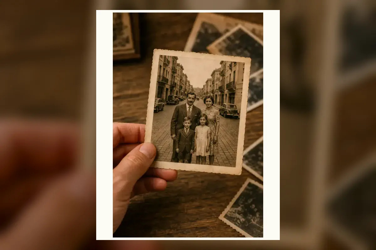
Finding the location of an old family photograph is like solving a mystery where half the evidence is missing. Unlike modern digital pictures, vintage prints don't have hidden GPS coordinates or EXIF data. You only have what's inside the frame.
But places leave fingerprints. By combining traditional visual forensics with modern AI geolocation, you can often pinpoint the exact street corner where your grandparents stood decades ago. Here is the step-by-step process to track it down.
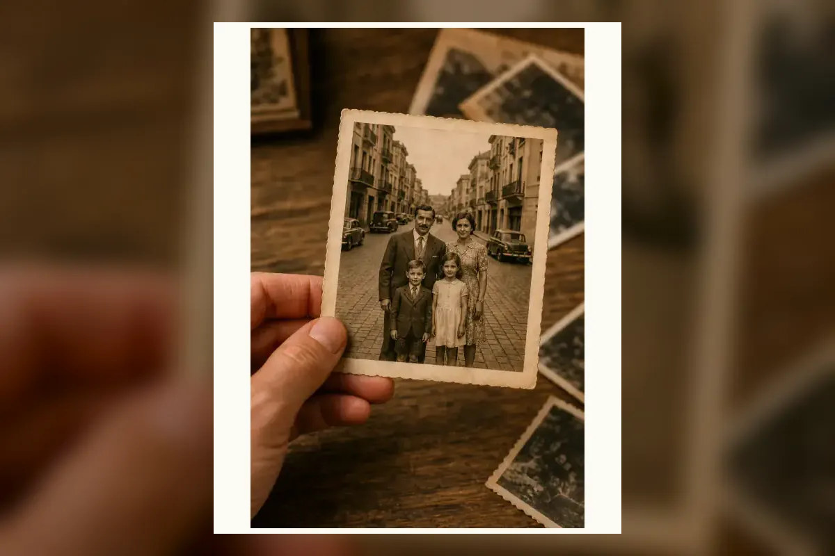
Step 1: Assess what you actually have (The Situation Table)
Before you start searching the web, look at the physical object itself. The fastest answers usually come from the paper, not the pixels.
| What you have | What you should do first |
|---|---|
| A photo studio stamp or embossed logo | Search local historical archives or Google for the studio's name and city. Studios rarely operated across multiple regions. |
| A physical print with borders | Check the back for faded pencil marks, or look for Kodak date stamps on the margins to lock in the exact year. |
| Only a digital scan | Skip to Step 2. You will need to rely entirely on visual clues within the image. |
Step 2: Look for permanent visual clues
When dealing with old photos, ignore things that change easily (like storefront signs or paint colors) and focus on the "bones" of the location:
- Architecture & Rooflines: Are the roofs flat, pitched, or tiled in a specific style? Look for distinct chimney shapes or window arches.
- Geography & Topography: Are there mountains in the background? Is the water a river, a canal, or the ocean?
- Era-specific markers: Clothing styles, vintage shop signs, and classic car models won't give you the exact city, but they will give you the decade, which helps narrow down historical archive searches.
Step 3: Using AI visual geolocation on vintage photos
You might think AI only works on modern, full-color photos. But AI visual geolocation tools look at structural patterns. While AI is trained on modern Street View, the fundamental geography of a city—its slopes, coastlines, and historic stone buildings—rarely changes.
If you upload a scanned old photo to an AI locator, it may not get the exact building if it was demolished, but it can often correctly identify the country, region, or specific historical district based on the architectural style and terrain.
Step 4: The "Then and Now" street view comparison
Once you have a suspect city or neighborhood, the final verification is the "Then and Now" comparison. Open Google Maps Street View and drop yourself in the suspected area. Look for permanent anchors:
- The curve of a road or the slope of a hill.
- Historic churches, temples, or bridges in the background.
- The alignment of distant mountain peaks.
Step 5: What to do when AI and searches fail
Sometimes, a photo is too blurry, or the entire neighborhood was paved over in the 1970s. When automated tools fail, human crowdsourcing is your best backup.
The Reddit community r/whereisthis is incredible at solving these mysteries. Use this template when posting:
Title: [Decade] photo of my grandparents, possibly in [Country/State]. Any ideas? Body: This is a scan of an old family photo taken around [Year]. We know they traveled through [Region] at the time. Notice the specific shape of the bridge in the background and the street lamps. Any help identifying the exact town or street is appreciated!
Demonstration: The Vintage Photo Workflow
To show how this works in practice, imagine you have a faded, decades-old photograph taken on a steep hillside. The image lacks metadata, is entirely black-and-white, and the people in the foreground obscure the street level.
- Visual Clues: The photo shows a distinct curved temple roof in the foreground, a narrow waterway, and an island across the water. You note the roof tiles are Japanese kawara style.
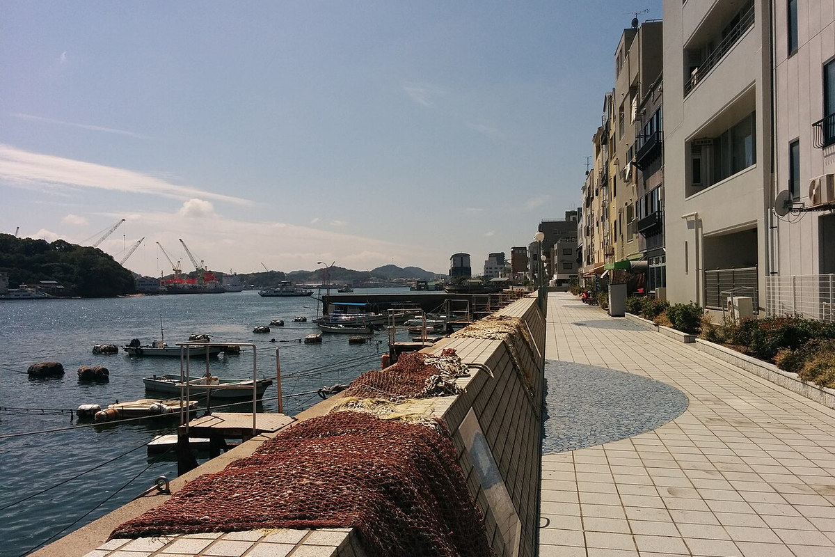
- AI Analysis: You upload the scan to an AI photo location finder. The AI recognizes the specific architectural style of the temple and the geography (a narrow strait facing a shipyard), placing the high-confidence zone in the Seto Inland Sea region of Japan, specifically pointing to Onomichi.
- Street View Validation: By scanning the hillside paths in Onomichi on Google Maps, you try to match the exact angle of the temple roof against the modern cityscape. While the modern buildings have changed and utility poles have been added, the slope of the hill and the distant island bridge align perfectly with the old photograph.
Need expert help? Get a deep dive report
If you have a crucial family photo that means the world to you, and automated tools aren't quite getting there, we can help. For $9.99, our team will run your photo through advanced AI models and conduct a manual forensic review to find the exact location. Check our methodology or contact us for a custom deep-dive report.
Frequently asked questions
Can you find the location of a printed photo? Yes, but you must scan it first. Look for any stamps or writing on the back before scanning, as those are often the best clues.
Does AI work on black and white photos? Yes. AI geolocation relies on shapes, architecture, and geography, which are perfectly visible in black and white images.
What if the building in the photo was destroyed? If the building is gone, focus on the background. Mountains, coastlines, and street layouts usually survive long after buildings are replaced.