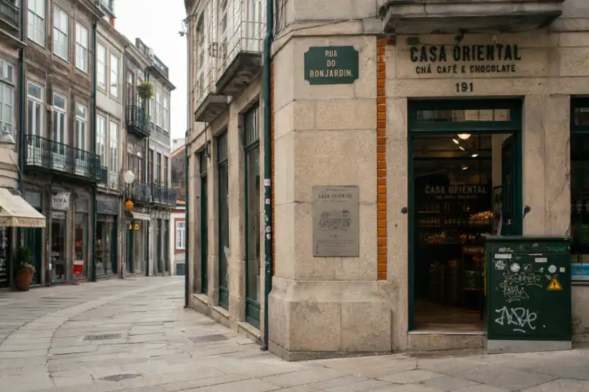
Finding out where a picture was taken used to require either a recognizable landmark or a lot of luck. Today, you have access to hidden metadata, billions of indexed images, and AI models that can recognize a street corner just by looking at a traffic light.
But using the wrong tool will waste your time. If you use reverse image search on a random dirt road, you'll get nowhere. If you try AI on a photo that already has hidden GPS coordinates, you're overcomplicating it. Here is exactly which method to use based on the photo you have.
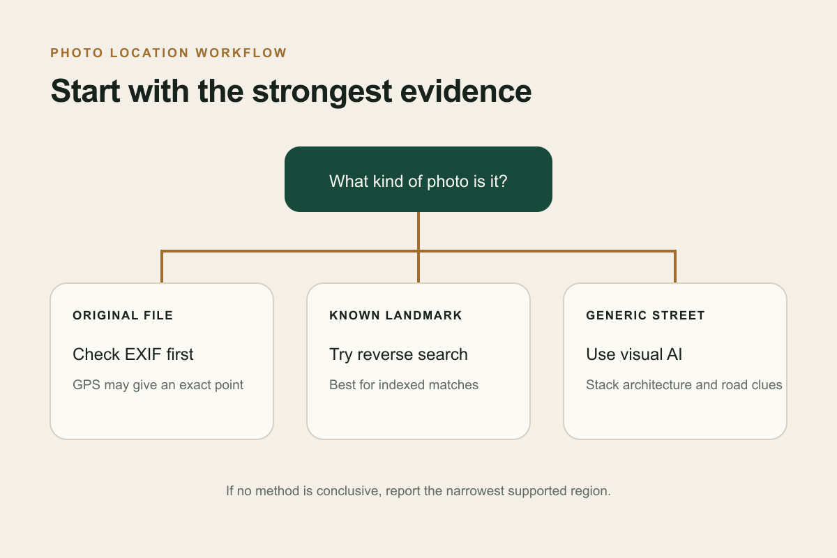
The Situational Decision Table (Which method to use?)
| What kind of photo do you have? | The best method to use |
|---|---|
| Original file straight from a phone/camera | Check EXIF data. The exact GPS coordinates are likely hidden inside the file. |
| Shows a famous building, monument, or artwork | Reverse Image Search. Google or Yandex will instantly match the landmark. |
| A random street, landscape, or generic town | AI Visual Geolocation. AI can read the architecture, road lines, and flora to estimate the region. |
| An old, scanned family photograph | Manual Forensic Clues. You'll need to rely on era-specific architecture and community help. |
Step 1: Check the hidden EXIF data at the OS level
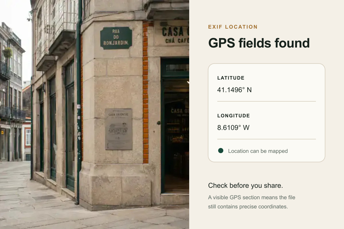
Before doing any detective work, check if the photo already knows where it is. Digital cameras and smartphones embed hidden metadata called EXIF into the image file. This data often includes the exact latitude and longitude.
If the photo was sent via email, Airdrop, or saved directly from an SD card, the GPS data is probably still there. (Note: Social media platforms like Instagram and WhatsApp usually strip this data to protect privacy).
How to do it locally:
- On Mac: Right-click the image > Get Info. If GPS data exists, it will show a map and coordinates under the More Info section.
- On Windows: Right-click the image > Properties > Details tab. Scroll down to the GPS section.
- On iOS/Android: Swipe up on the photo in your camera roll to view the map data.
If you are on a device without these native viewers, or want to avoid uploading the file to a random site, use a secure EXIF viewer to instantly reveal any hidden GPS coordinates.
Step 2: Try a reverse image search (For landmarks and exact matches)
If the EXIF data is missing, your next step is reverse image search. Tools like Google Lens, Bing Images, and Yandex are incredible at identifying exact matches of famous buildings, distinct mountains, or well-known tourist spots.
How to do it: Upload your photo to Google Lens or Yandex Images. If the background contains anything remotely famous or visually distinct, the search engine will find other photos of the same spot and tell you the name. You can also use dedicated reverse image search location workflows.
Step 3: Use AI visual geolocation (For generic streets)
Reverse image search fails completely when the photo is just a random suburban street, a generic highway, or a nondescript field. This is where AI steps in.
Modern AI models don't look for exact image matches. Instead, they read the "meta" of the image: the shape of the road signs, the style of the utility poles, the specific species of trees, and the color of the road lines.
How to do it: Upload the image to an AI photo location finder. The AI will process the visual clues and provide a heat map of the most likely countries or regions where those specific features exist.
Step 4: Manual verification and the failure path
When automated tools fail or return conflicting results, you have to verify the location manually like a GeoGuessr player. Zoom in on the image and look for:
- Language and Script: Is that sign in Cyrillic, Greek, or Thai?
- Driving Side: Are the cars driving on the left or the right?
- License Plates: Are they long and white (Europe) or shorter (Americas)?
- Infrastructure: What shape are the roadside bollards?
What to do if everything fails: If AI and your manual checks hit a dead end, your last resort is human crowdsourcing. Communities like Reddit's r/whereisthis are incredibly skilled at geolocating difficult photos. Post your image there with as much context as you have (year, suspected region, etc.).
For a repeatable investigation stack—metadata, reverse search, visual geolocation, usernames, domains, and verification—use the OSINT tools map.
Comparison: Which method is right for your photo?
- Fastest and 100% accurate: EXIF data (if available).
- Best for tourist photos: Reverse Image Search.
- Best for random, everyday photos: AI Geolocation.
- Best for historical photos: Manual clues and crowdsourcing.
Frequently asked questions
Can you find a location from a screenshot? A screenshot strips all EXIF data, so you cannot use metadata to find the location. You must rely on reverse image search or AI visual geolocation based on the pixels.
Is there a tool that finds location from a picture for free? Yes. You can check EXIF data or use Google Lens for reverse searching entirely for free. Advanced AI geolocation models usually offer limited free trials.